 |
| On one of our walks |
Now I remember why we used to do a blog every three days or so.... I’ve forgotten what we were doing a week ago now!
We left the Norfolk Broads and headed for the coast. We stopped at Cromer which was very chilly, having eventually found the one carpark that was open to motorhomes (location: 52°56'00.7"N 1°17'25.2"E). A good old British seaside town, we walked down the pier, and bought a dressed Cromer crab, sandwiches to die for for lunch. Couldn’t have them yet though, next stop was Cley next the sea which has a birding centre looking out over the marshes (location: 52°57'16.1"N 1°03'22.0"E). We had a lovely chat with a welcomer who answered my “what’s that?” With “a marsh harrier”. That was a tick then. We looked at the exhibition and spoke to the photographer who took the picture of the barn owl in the last blog. We didn’t do the three mile walk, it was still jolly cold and the crab was calling.
 |
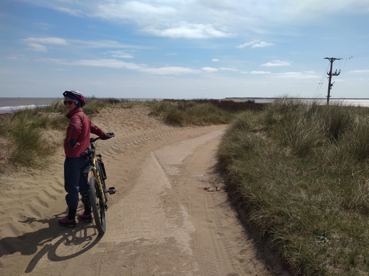
| Cley-Next-The-Sea Nature Reserve |
 |
| Nice regular campsite at Burnham Deepdale |
We continued on to Burnham Deepdale, and another ‘proper’ campsite (campsite location: 52°57'56.3"N 0°41'05.0"E). This one also ran the garage, the tourist information and the pop up shops. I was taken with the sign that said the Thai food truck would be in the carpark tomorrow, what was that I said about not cooking? We walked round the village and I thought I might never cook again, why is this tiny place so foodie? I was restrained, in the end, all I bought was some smoked haddock from the smokery. It’s still in the fridge, and despite being vacuum packed is just making the fridge smell slightly smoky! I did cook, simple spaghetti carbonara, didn’t need much after that crab sandwich!
 |
| On the boardwalk through the marshes at Burnham Deepdale |
 |
| And onto Brancaster beach which was huge - and empty! |
Thursday, a walk around the marsh flats to the beach and then inland to the common. 7.9 miles in the sunshine. Only one slight mishap led to us coming off the common across someone’s back garden. We didn’t see them to apologise, but the dog didn’t mind and enjoyed some good tickles! (Here's a link to a short video we did of the walk showing the route with extra photos. Click on the following link and press play: Brancaster walk video)The Thai food truck was fab, much better than the half a jar of green curry paste I’m meant to be using up!
 |
| View after walking up onto the nearby hill and common. Brancaster beach is just out of the picture on the left, down there are the marsh flats and the motorhomes are on our campsite (don't think you can quite see ours, although you might be able to). This was very much zoomed in, we were much further away than it looks |
 |
| Patrick the AA man working on Big Ted at Sainsburys |
Next stop was meant to be to look at the Wash, but the journey didn’t go quite as planned. We stopped to do some shopping at Tesco and Aldi. It wasn’t as big a Tesco as it might have been, so three miles later when we saw another and a Sainsbury’s both with fuel stations we stopped. In that 3 mile journey, I’d put the aircon on and we’d both commented on the smell of diesel, turning into Sainsbury’s Ted seemed to have lost traction but still, we were both fairly horrified to find diesel pouring out from the engine compartment! Rightly or wrongly we hopped back in and drive the 50 yards to Sainsbury’s main carpark and rang our breakdown service. Patrick was with us in just over an hour and decided it was a filter or the seal. Couldn’t get a new unit, but the car parts shop we could see, had the filter and seal for £34.00. Within 3 hours of stopping we were back at the fuel station filling up. Keep everything crossed it’s been ok.
 |
| Another successful roadside (or carpark) repair. Well done Patrick of the AA |
 |
| The idyllic setting of Walnut Lakes campsite |
Perhaps we’ll just chill on Saturday then after our stressful Friday, well, we had mum and 13 ducklings to watch over... They are tiny ducklings and appeared very interesting to the crows that kept coming over. I think I saw one fly off with something in its beak, but we are not sure. Mum was doing a sterling job protecting them, but seemed to really struggle finding somewhere to sleep with her brood. Saturday morning, we didn’t do nothing, we rarely do, and even our short walk turned longer due to leaving Sutterton in entirely the wrong direction. This also meant we had to walk down the side of the A17, not a good walk! We did however pass a farm shop so bought some Lincolnshire sausage and a pork pie. Not a total failure then! We didn’t however see the Wash, but mum says it’s not very exciting, and we were only about 5miles from Bicker where she grew up, so she should know (Walnut Lakes campsite location: 52°53'14.7"N 0°04'42.3"W).
 |
| And look at mum duck looking after her 13 ducklings. How can you not relax when watching them? |
 |
| So we did. Saturday papers and a chill (after an 8 mile walk) |
Sunday we headed to a CL (certified location campsite for 5 vehicles) near Osgodby (Field Farm campsite location: 53°24'54.7"N 0°22'01.7"W). Not a particularly exciting place, though the site was lovely, but it was the nearest place to the highest point in Lincolnshire! As you can imagine, my excitement was palpable, or perhaps that was my heart, it actually was a bit of a climb, on the bikes, up the 163m! When we arrived at the gate into the farmers field, there was a CB radio man parked up. He suggested that asking Jonathan, the farmer, would be a good move. I let Brian cycle downhill on his own for that, but he was soon back with good news, we could cross two fields till we found the trig point.... (Wolds Top, highest point in Lincolnshire, location: 53°27'11.1"N 0°18'47.7"W) My Lincolnshire sausage and mash was probably more exciting! Particularly as on the way back my bike was making a funny noise. I’d got a puncture in my back tyre. Note to self, buy a new inner tube, the ‘spare’ had already been patched, and the tyre was flat again today!
 |
| On the campsite at Osgodby and ready to cycle up hill to Wolds Top, highest point in Lincolnshire! |
 |
| The was much grumpiness at cycling up a steep hill |
We left there this morning for another one night park up, at the closest CL to Spurn Point a little spit of land that sticks into the Humber Estuary (Kew Villa campsite location: 53°37'12.6"N 0°07'51.3"E). 4 miles on bikes, no problem, except for where the road has been washed away, so cycling on the beach? Not easy. The bikes made the easy bits easier, but the hard bits harder, pushing the bike through sand was horrible too, I seemed to end up with half the beach in my shoes! It was a grand view though, and there was a seal pup at the end. His turn on duty obviously. Most importantly, we made it back to the visitor centre for cake, and then had to have a pint on the pub too, well I can see it. It would be rude not to! Here's a link to a short video we did of the walk showing the route with extra photos. Click on the following link and press play: Spurn Head cycle/walk
Tomorrow? We are going to see my university friend Martin, he read the last blog and said “we are just near Bridlington if you are coming this far” we are, so we are visiting...
 |
| Here's where we dropped the bikes and scaled the fence to walk the last bit to the Trig point (after asking the landowners permission first as it is on private land with no public access) |
 |
| And there it is. 168m above sea level |
 |
| But we decided we could get a bit higher and stand on it. We must be 169m now! |
 |
| Quite a nice view here of - flat land! Well, it is Lincolnshire |
 |
| Did she mention about Teddy coming apart at the seams? Don't think he's been stitched up yet either! |
 |
| We took Big Ted over the impressive Humber bridge today. Here it is as we approached it. We were surprised how cheap it was, £1.50 toll the girl charged us (however that was the charge for a motorhome up to 3.5T - ours is 4.5T, so the charge should have been £4.00, but that's what she asked for, who were we to argue?) |
 |
| Another small campsite, Kew Villa. This one is as close as we could get to Spurn Head - and it's next door to a pub that's open! Result! |
 |
| Out with the bikes again. It's only 4.5 miles along the sand bar to the point right out in the sea between the North Sea and the Humber estuary. In this photo you can see water on either side |
 |
| But at one point the road had been washed away so we had heavy pushing through soft sand, until we realised that we could go nearer the sea to where the sand was harder and we could just about pedal over it there |
 |
| We got to the lifeboat jetty here, near the end and the road surface petered out. It was walking from here |
 |
| Lots of old WW2 (and older) relics here. This was a searchlight housing. Did you know that the Norwegians departed from here after their defeat by King Harold at Stamford Bridge? A successful defence of the British Isles by King Harold then, but unfortunately for him William the Conqueror was about to land at Hastings and his forced, fast march south to meet them in battle was too much and the rest is history. The date? 1066 |
 |
| The signpost at the point (usual stuff, Sydney 10400 miles, Lands End, John O Groats etc). However, there's just a bit more sand to cover till reaching the sea... |
 |
| We're definitely at the end now. There's a tanker passing between Spun Head and Lincolnshire heading up the Humber for Hull. Apparently about 20% of UK shipping passes through here |
 |
| And right on the beach there was this chap looking at us. We gave him a wide berth, this was a zoomed in shot |
 |
| So we made out way back, stopping for hot chocolate and cakes at the visitor centre and finally a beer at the pub next door. Well, it would have been rude not to! |


No comments:
Post a Comment